Monday, August 31, 2015

The Road to Ullapool

Coming out of the wooded area close to Muir of Ord into the Highlands.
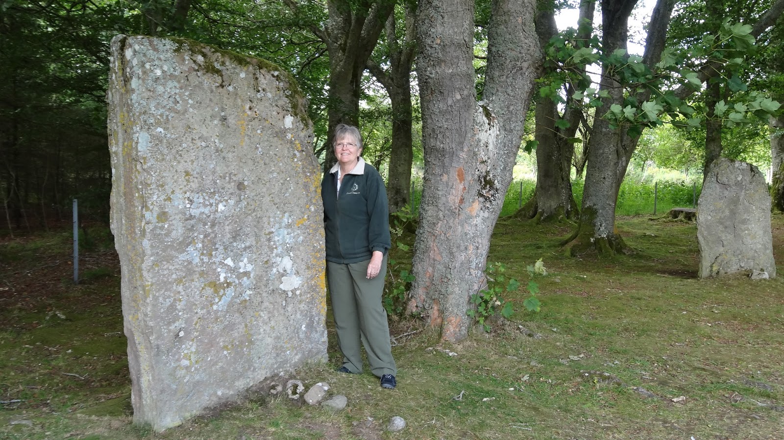
When we agreed to come to Scotland house sitting, we didn't think we would be able to make it to the West coast.  While it isn't too far, mile wise, the roads can be narrow and twisting, making for slow travel.  Since we would have two dogs waiting at "home", we couldn't be gone too long.
The Scottish Thistle.
When we arrived in Muir of Ord, after talking to Eleanor, Brian and Sarah, we realized it was possible to go West!  So on a day when the weather was to be more sun than showers, off we went
The Western Highlands are beautiful, with mountains and lochs, but not alot of people.

A cruise ship in port at Ullapool.
We were surprised driving into Ullapool to find a cruse ship docked and unloading passengers to take their mini-visits on buses.  It was a very organized spectacle; with 1000's of people it would have to be.  The little boats just kept bringing them to the dock, over and over and over.  Whew!  After watching this, we knew our decision to never take a cruise was the right one for us.

One of the tenders unloading passengers.

The harbor at Ullapool.

The harbor has small boats, fishing boats and the ferry terminal to the Hebrides islands.  Visitors could also take tours out to the surrounding islands and watch birds and look for sea life.  They were all booked for the day, though.
The street facing the harbor.
Loved this building, now a restaurant.
We spent a lovely couple of hours walking around, eating our lunch and in general enjoying this little village nestled between the hillside and ocean.  Being a cruise ship stop, there are many tourist type shops selling Scottish souvenirs.  We admired some lovely woolen sweaters, scarves and hats, but living in Tucson, we rarely need anything wool.

Beautiful!
On our way home, we saw a sign for Corrieshalloch Gorge.  It was listed on our NTS brochure, so we decided to stop.  Great idea!  There is a suspension bridge over the water that plummets over the 150 foot Falls of Measach.  The bridge was built by Sir John Fowler, the engineer behind the Metropolitan Railway in London, as well as Victoria Station.  In Scotland, he was the joint chief engineer on the Forth Bridge in Inverness.

The sign when we arrived at the bridge.  We wondered what size the 6 people could be.
The suspension bridge, while built in the Victorian era, doesn't have a that Victorian feel.
To get to the bridge, we walked along a trail that winds down to the gorge.  There were flowers blooming everywhere, some we had never seen before.  Arriving at the bridge, we found the warning sign: No more than 6 people on bridge.  This brought up the question, "How large can these people be?"  With just us on it, you can feel the bridge move.  When I made the video, starting at the top of the falls and filming until I was looking straight down over the side, I did feel a bit of vertigo.  So I made a second one, just in case.


Stopping by the road when we see a sign which sounds interesting has to be the best reason to travel by car, with no real itinerary.

Tuesday, August 25, 2015

Inverewe, A Long and Winding Road

The road to Inverewe is not very busy.
One of the places we hoped to visit, if it wasn't too far away, was Inverewe Gardens on the West coast.  It's out on a peninsula of the Wester Ross, that is accessed by a loop road.  We thought we would give it a try.
The road out was very good, then it got narrower and narrower until it was one lane with passing places.  We pulled over in one place for 3 motor homes, 2 cars and a delivery truck to pass, so it's not a little traveled road!

Rock outcroppings give it a very rugged look and feel.

There doesn't appear to be much agriculture, as far as growing things, but there were sheep.  The houses were far apart and very small.  In no time we arrived to the small village of Inverewe, driving on the the gardens on the outside of town.
Houses are few and far between.

The gardens were developed from the 1860's by Osgood Mackenzie, a man with a vision, who was followed by his daughter, Mairi, in transforming this barren, windswept headland into a unique garden.  The area is insulated by the North Atlantic Drift, allowing plants from around the world to thrive.

The Gardens at Inverewe.
As soon as we were out of the car, we were attacked by midges, tiny flies that swarm and bite!  We had read about them before coming to Scotland, but, fortunately, this was our first encounter.  We also realized that our bug repellent was sitting on the bookcase at the house.
Kitchen garden planted inside the Walled Garden to keep it safe from rabbits.
Inside the visitor center, they sold spray developed just for midges.  It's probably not too good for people, but who cares when you are under attack!  We bought the stuff, even though it was 7.95.  We sprayed it on our hands then rubbed it into our hairline, on our face and neck.  As is was raining, we had on long sleeves and high collars.  Out into the garden we walked, only to be inundated by the damn things.  They also like to fly into your ears and up your nose!  Poor Bill was really eaten up by them.
Beautiful garden gate.
So, today was the Bill and Mary running through the Inverewe Gardens while swatting at midges tour.  I hope to never encounter them again!  Bill received many more bite than me, but he always does.
The gardens face on to Loch Ewe.

Water falls on the way home.
The drive on around the peninsula was spectacular!  The road didn't get as narrow, but it was still narrow.  The fog came down the mountains until they looked flat on top.  There were many waterfalls and cascades; we ate our lunch, sitting in the car to avoid the midges, by one.
Looking down a glen.

Sunday, August 23, 2015

Duncansby Point

At Duncansby Point you can look across to the Orkney Islands.

Duncansby Point is the farthest North one can go on the main Island of Britain.  We were hoping to be able to see the Orkney Islands, and were not disappointed.  It's the closest we will get to them this trip; maybe another time.  The Stacks of Duncansby were something we could go see.

Just follow the signs to the Stacks.

The parking lot had several caravans driven by French folk.  We have seen a lot of French holidaying in Scotland.  It's a much cooler summer than in France, especially this year.  The signs to the stacks are very clear, with the pathways mowed for easier hiking.  The ground, however, is very boggy, so you have a spring in your step.  I was glad I had my hiking poles, as they helped me navigate over some of the soggy spots.
Our first view of the Stacks of Duncansby.

At some places, the ground was too boggy, soggy to walk on, so board walks had been built.
The Goas are sections of the land that in several thousands of years will be stacks, if they are lucky.  Now their cliffs are protected areas for nesting sea birds.  Even though it is late in the season, we saw several Kittawake chicks covered in fuzzy down.

The Long Goa whose cliffs are used for nesting.

A Kittawake chick on the cliffs.

In sun and shadow, the layers show.

The stacks.  We wondered if the flat spot to the right had been a stack at one time; it is the same stone as the bottom of the other two.
The round trip was about 1 1/2 miles, as we went farther than the first view point, of course.  The wind was really howling, but we still had a good time!


The Great Glen from Loch Ness to Fort William

Beautiful Loch Ness, but no Nessie in sight! 
We had to visit Loch Ness and see if we could find Nessie.  Try as we might, no Nessie sighting.  Maybe she's on holiday somewhere warm.  Loch Ness is not user friendly when it comes to driving; not many pullouts with views as the trees have grown too thick to see through.  So we drove with occasional peeks at the loch.
Several sailboats were on the loch, which would be a great way to see it.

The south end of Loch Ness has a tiny beach with ducks, the only water life we saw.
At the south end there was a small pullout where we could walk down to a tiny beach.  A flock of ducks were on the water, but soon moved on away from us.  Climbing back up, Bill spotted this tiny field mouse ready to pose for his picture.
Could this be a Scottish Pack Rat?
Loch Ness ends at Fort Augustus, where the River Oich is used to make the Caledonian Canal after running out of Loch Oich.  Then you come to Loch Lochy.  They did a good job building pullouts around this Loch, complete with information boards explaining how the Great Glen came to be.  It's all geology, baby.

Loch Lochy 

This is how it all happened to come about.
Everywhere there are waterfalls, if you can get past the trees to see them.  Some have names, some don't, but all are beautiful.  We saw several on the drive on into Fort William.  We didn't stay long in Fort William, just hit the grocery store so we wouldn't have to stop on the way home.  (We are so lazy sometimes.)  Fort William was definitely a tourist town.  It not only is the gateway to the Lochs for tours from Glasgow and Edinburgh, but is has Ben Nevis, the highest peak in the UK, at is doorstep.

Waterfall on a stream that feeds Loch Lochy.


Lochs and waterfalls are everywhere in the Highlands, all you have to do is wander a bit and keep your eyes open.  It is especially true this year, as they have had their wetting summer on record.  Every one has apologized to us for the weather, but we came prepared.  All the rain makes everything incredibly green, besides, no rain, no rainbows!

Loch Lochy is very beautiful; I think I like it better than Loch Ness.

Small waterfalls are in abundance.

Looking for Brodie Castle, but finding Rodney's Stone and Cava Cairn Instead

Rodney's Stone
Off on a beautiful Sunday morning driving to see Brodie Castle.  The traffic backed up as we came into Nairn.  After creeping forward for 20 minutes, we turned off the road and let the GPS recompute.  Really didn't help, as she kept trying to send us back to Nairn. Thank goodness I always have a map in the car!

Cross carved on the back.
After driving on one lane roads through the back of beyond, we finally made it back to the highway and found the castle, only to be told they were having a special event (which we were interested in) and we would have to pay extra to go.  We declined the offer, deciding instead to come back on an uneventful day. But, while exiting backwards out of the castle, we found Rodney's Stone!  Made it worth the fuss.
I really love these things!
Rodney's Stone was found nearby the castle.  It is a class II stone, containing both Pictish and Christian symbols.  What makes it unique are the inscriptions on both of the sides and on the cross face.  It is in the Ogham alphabet and is the longest of all Pictish inscriptions.  What they can make out of it is the Pictish name EDDARRNON, a Pictish saint.

What to do next?  We didn't want to try going through Nairn again, so off across the country we went, ending back at Cullenden, where the visitors center has wonderful bathrooms.  Upon leaving, we followed the signs to Cava Cairns.  Sounded interesting and it was!

Looking into the entry into the largest of the cairns.  It would have been covered and only received light into the depths on the solstice. 

The large curb stones on the bottom support everything else.

A completely enclosed cairn; no entryway, but on the outside there were trails of rock sticking out like spokes on a wheel.

Standing stones surrounded each cairn.

The enclosed cairn with the spokes of stones coming out.
Not being able to visit Brodie Castle was a positive; we would never have found Cava Cairn.  Sometimes the very ancient turns out to be better than merely old.  Besides, we can go to Brodie later, perhaps on our way back to Aberdeen.
This rock split after being stood up.  It has been this way for many years, as the insides are weather worn.

About a quarter of a mile away, is the remains of an ancient Christian chapel built near another ring of stones.  We could make out the corner stones on the chapel, with a lot of rubble in the middle.  One large stone still remained of the circle.  We took a different one lane road back to the main highway.  It wandered through farms and fields, up a ridge and back down over a bridge till we came on our road.  We love traveling this way!
Bridge in the distance: looks like the on in the Harry Potter movies, doesn't it?

Blackness Castle and Linlithgow Palace

Two castle built during the same period, but for completely different uses.  Blackness Castle was a military fort on the Forth of Firth, whi...